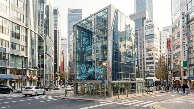
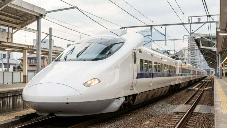
Japan Drone Technology: New Uses Beyond Photography
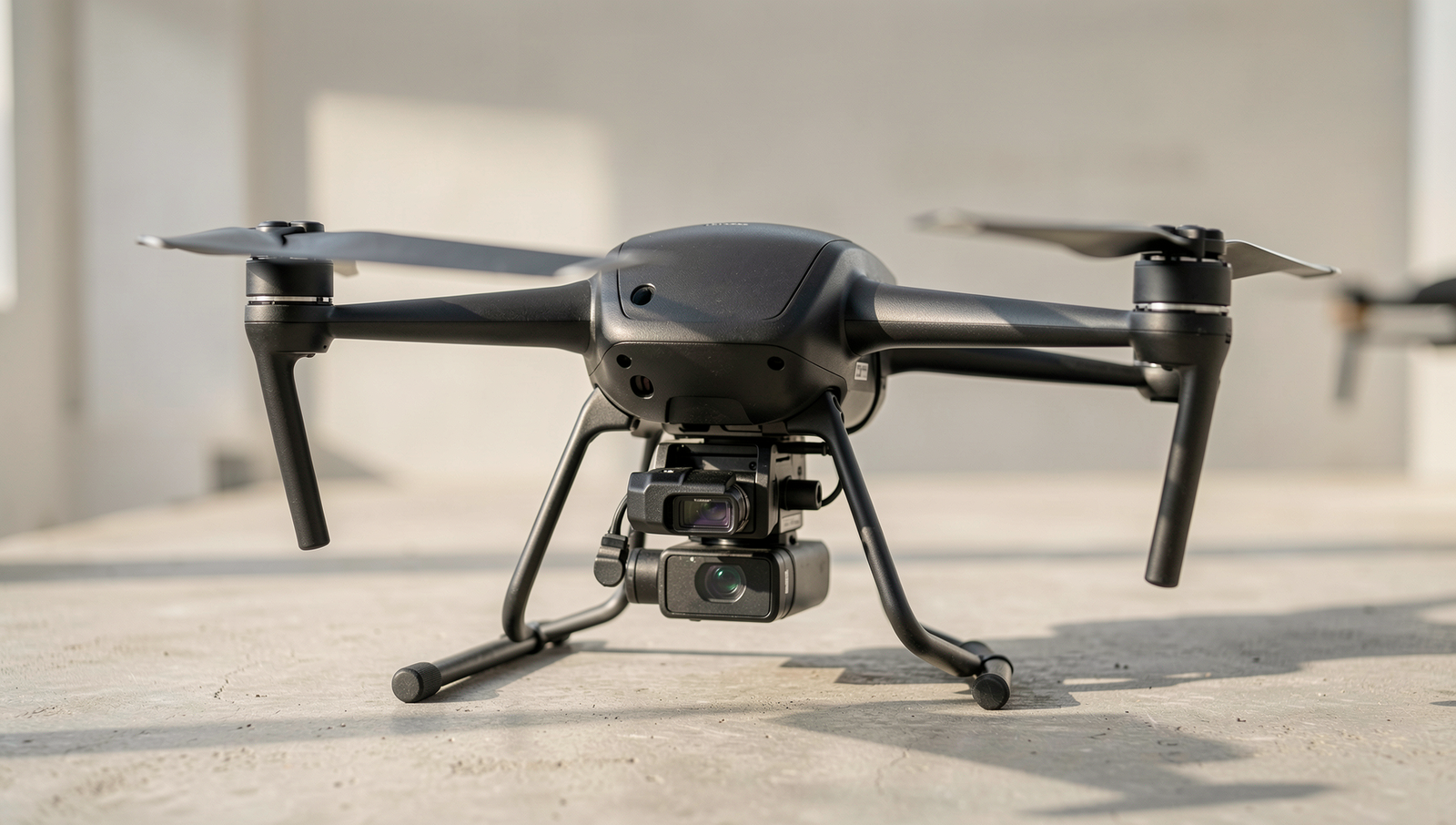
Exploring innovative drone applications in Japan.
8 min read • 1,642 words
Table of Contents
ToggleJapan Drone Technology: New Uses Beyond Photography
Japan Drone Technology is rapidly evolving, showcasing innovative applications that extend far beyond traditional photography. As the nation faces unique challenges, such as natural disasters and an aging population, the integration of drones into various sectors has become increasingly vital. This article explores how Japan is leveraging drone technology for agricultural monitoring, disaster response, logistics, infrastructure inspection, and environmental conservation. Readers will gain insights into the transformative potential of drones in enhancing efficiency and safety across multiple industries.
By examining the diverse uses of drones in Japan, we will highlight the significant impact these technologies have on improving crop yields, facilitating timely disaster recovery, and streamlining delivery services. Furthermore, we will discuss how drones are revolutionizing infrastructure inspections and contributing to environmental monitoring efforts. Understanding these advancements not only showcases Japan’s technological prowess but also emphasizes the importance of drone innovation in addressing contemporary challenges.
Innovative Applications in Agriculture
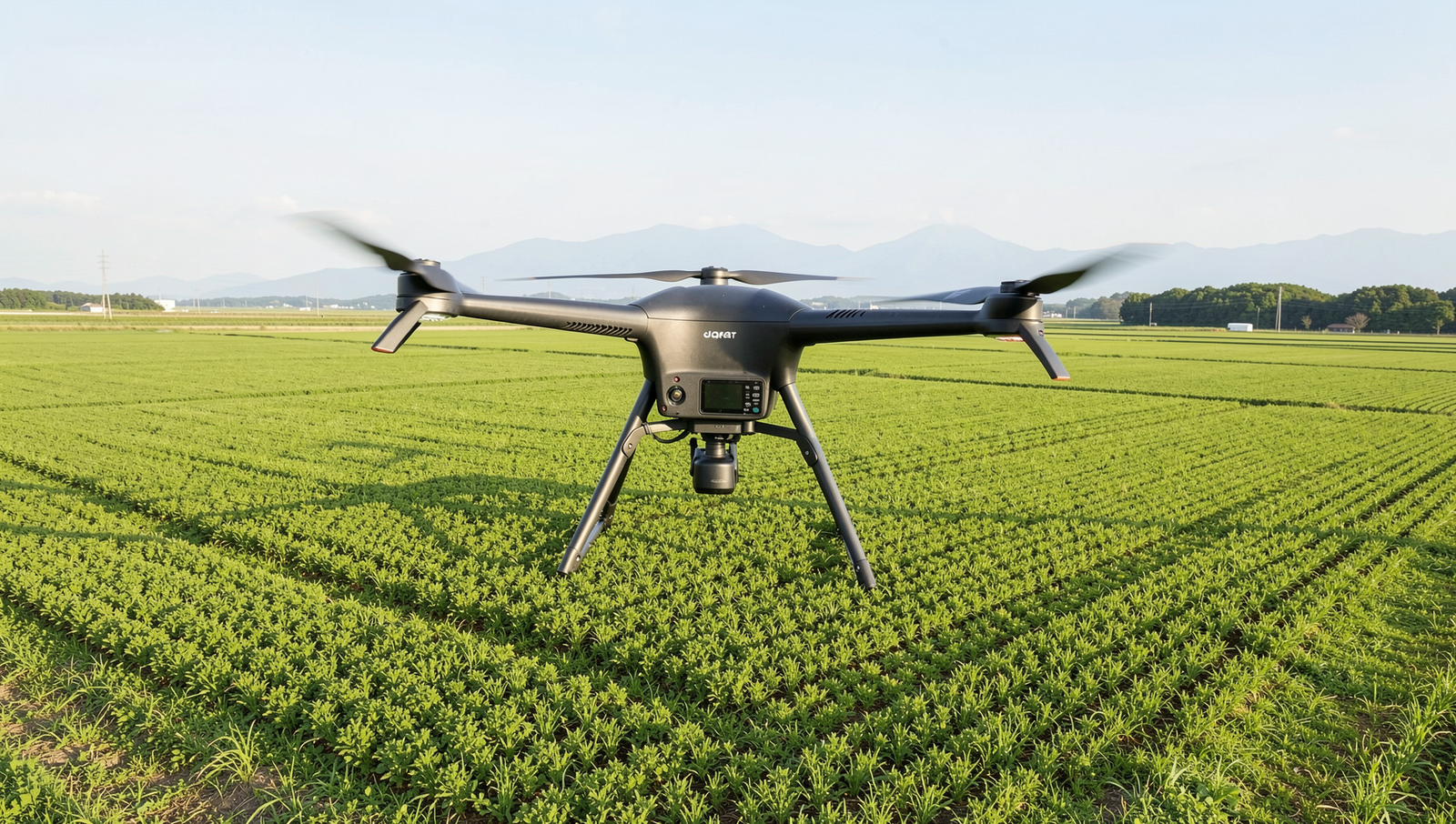
Japan Drone Technology has revolutionized the agricultural sector by introducing innovative applications that extend far beyond traditional photography. Drones are now essential tools for farmers, enhancing productivity and efficiency through various advanced techniques.
One of the primary uses of drones in agriculture is for crop monitoring and health assessment. Equipped with high-resolution cameras and sensors, drones can capture detailed images of crops from above, allowing farmers to identify issues such as disease, pest infestations, and nutrient deficiencies early on. This aerial perspective enables timely interventions, ultimately leading to higher yields and healthier crops.
In addition to monitoring, precision agriculture has emerged as a significant application of drone technology. Drones can be utilized for targeted pesticide application, ensuring that chemicals are only applied where necessary. This not only reduces the overall amount of pesticides used but also minimizes environmental impact. For instance, a farmer can program a drone to fly over specific areas of a field that require treatment, thereby saving both time and resources.
Another critical application is soil analysis and mapping. Drones can collect data on soil composition, moisture levels, and other vital parameters. This information helps farmers make informed decisions about crop rotation, fertilization, and irrigation practices. By understanding the unique characteristics of their land, farmers can optimize their operations for better results.
Furthermore, automated irrigation systems integrated with drone technology are gaining traction. Drones can assess moisture levels in real-time, allowing for precise irrigation scheduling. This ensures that crops receive the right amount of water at the right time, promoting sustainable water use and enhancing crop growth.
- Crop monitoring and health assessment
- Precision agriculture for targeted pesticide application
- Soil analysis and mapping
- Automated irrigation systems
In conclusion, Japan Drone Technology is transforming agriculture through innovative applications that enhance efficiency, sustainability, and productivity.
Disaster Management and Emergency Response
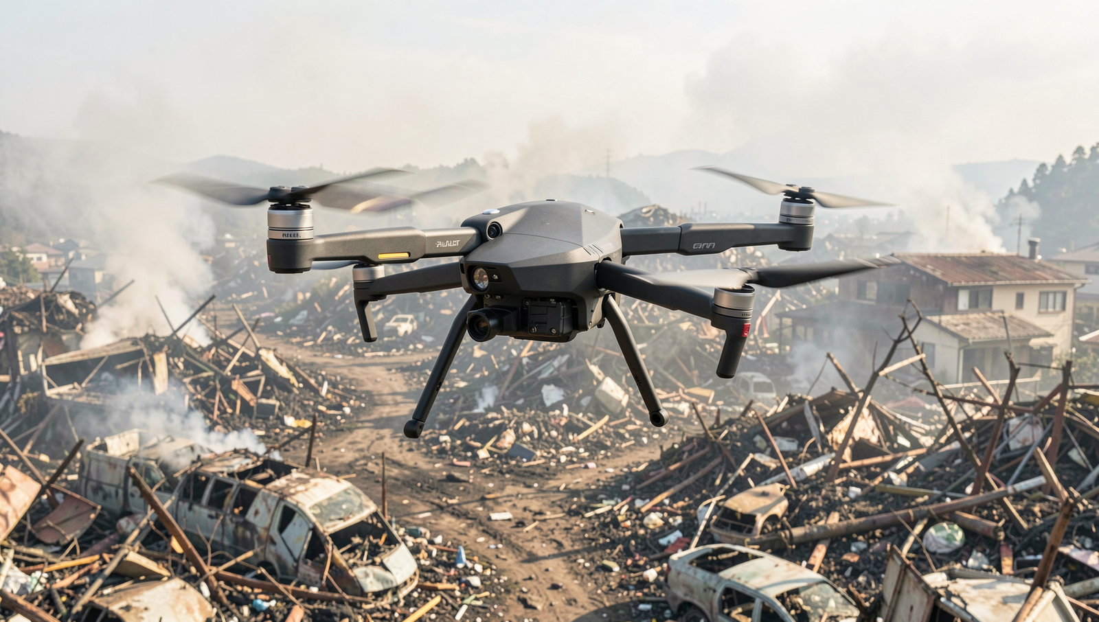
Japan, known for its advanced technology, has been at the forefront of utilizing drone technology in disaster management and emergency response. The unique geographical challenges faced by the country, including earthquakes and tsunamis, have led to innovative applications of drones that extend far beyond traditional photography.
One of the primary uses of drones in disaster situations is for real-time disaster assessment and damage evaluation. Drones equipped with high-resolution cameras and sensors can quickly survey affected areas, providing emergency responders with critical information about the extent of damage. This rapid assessment allows for more efficient resource allocation and prioritization of response efforts.
- Real-time data collection: Drones can gather data on infrastructure damage, land shifts, and other critical factors that need immediate attention.
- High-resolution imagery: Aerial views from drones help in creating detailed maps of disaster zones, which are essential for planning recovery efforts.
In addition to assessment, drones play a vital role in search and rescue operations. Equipped with thermal imaging cameras, drones can locate missing persons in challenging terrains, such as forests or collapsed buildings, where traditional search methods may be hindered. This capability significantly reduces the time needed to find and assist individuals in distress.
Another innovative application of Japan Drone Technology is the delivery of medical supplies to disaster-stricken areas. In situations where roads are impassable, drones can transport essential medications, blood supplies, and other medical necessities directly to those in need, ensuring that healthcare services continue uninterrupted.
Furthermore, drones are instrumental in mapping and modeling disaster scenarios. By collecting data before and after a disaster, researchers can analyze patterns and improve future preparedness strategies. This proactive approach not only enhances immediate response efforts but also contributes to long-term resilience planning.
Infrastructure Inspection and Maintenance
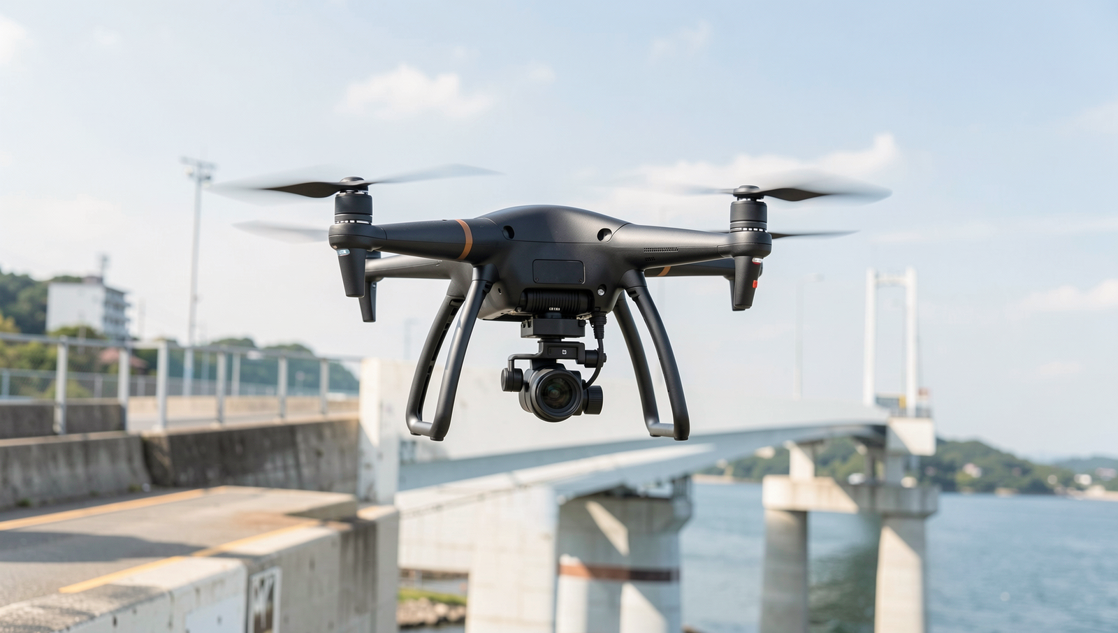
Japan Drone Technology has revolutionized the way infrastructure inspection and maintenance are conducted across the country. Drones are increasingly being utilized for inspecting critical structures such as bridges, power lines, and pipelines. This shift not only enhances efficiency but also significantly reduces the risks associated with traditional inspection methods.
One of the primary advantages of using drones for infrastructure inspection is their ability to access hard-to-reach areas safely. For instance, inspecting a bridge often requires scaffolding or cranes, which can be both time-consuming and costly. In contrast, drones can quickly fly over and around structures, capturing high-resolution images and videos without the need for extensive setup. This capability is particularly beneficial for:
- Bridges: Drones can inspect the integrity of bridge components, identifying cracks, corrosion, and other potential issues.
- Power Lines: Drones equipped with thermal imaging cameras can detect overheating components, which may indicate electrical faults.
- Pipelines: Regular aerial inspections can help identify leaks or damages, allowing for prompt maintenance actions.
Moreover, drones facilitate real-time data collection, enabling infrastructure managers to monitor the health of structures continuously. This immediate access to data means that potential issues can be identified and addressed before they escalate into costly repairs or safety hazards. The integration of artificial intelligence (AI) further enhances this process by analyzing the collected data to predict maintenance needs and optimize inspection schedules.
In summary, the use of drones in infrastructure inspection and maintenance represents a significant advancement in Japan Drone Technology. By providing cost-effective, safe, and efficient alternatives to traditional methods, drones are transforming how infrastructure is monitored and maintained, ensuring the longevity and safety of essential structures across the nation.
Environmental Monitoring and Conservation
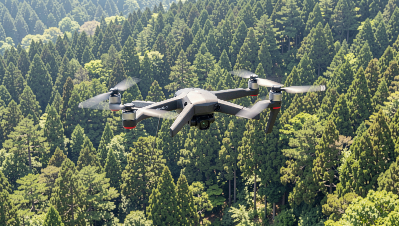
Japan Drone Technology has significantly advanced the field of environmental monitoring and conservation. Drones are now being utilized for various purposes that extend beyond traditional photography, playing a crucial role in tracking wildlife and monitoring their habitats. These unmanned aerial vehicles (UAVs) provide a unique vantage point, allowing researchers to gather data without disturbing the natural environment.
One of the key applications of drones in this field is wildlife tracking. By equipping drones with thermal imaging and high-resolution cameras, researchers can monitor animal movements and behaviors in real time. This technology is particularly beneficial for studying endangered species, as it minimizes human interference and provides accurate data on population dynamics.
In addition to wildlife tracking, drones are instrumental in mapping deforestation and other environmental changes. They can cover large areas quickly and efficiently, capturing high-resolution images that reveal changes in land use, vegetation cover, and habitat fragmentation. This information is vital for conservationists who aim to protect vulnerable ecosystems and implement effective management strategies.
- Data Collection for Climate Research: Drones facilitate the collection of crucial data for climate research. They can measure atmospheric conditions, monitor greenhouse gas emissions, and assess the health of ecosystems, contributing to a better understanding of climate change impacts.
- Reforestation Efforts: Innovative projects in Japan are utilizing drones for reforestation. Drones can disperse seeds over large areas, significantly speeding up the reforestation process and helping restore degraded landscapes.
- Ecological Restoration: Drones are also used in ecological restoration projects, where they assist in mapping and monitoring the success of restoration efforts, ensuring that ecosystems are recovering as planned.
In summary, Japan Drone Technology is revolutionizing environmental monitoring and conservation efforts. By leveraging the capabilities of drones, researchers and conservationists can gather critical data, track wildlife, and implement effective strategies to protect and restore the environment.
Conclusion
Japan Drone Technology has evolved significantly beyond its initial applications in photography and videography. Today, drones are being utilized in various sectors, including agriculture, disaster management, and infrastructure inspection. These advancements not only enhance operational efficiency but also contribute to safety and sustainability. For instance, in agriculture, drones facilitate precision farming by monitoring crop health and optimizing resource usage, leading to increased yields and reduced environmental impact. Similarly, in disaster response, drones provide critical aerial views that assist in search and rescue operations, showcasing their versatility and importance in modern society.
Looking ahead, the next steps for Japan Drone Technology involve further integration of artificial intelligence and machine learning to improve autonomous operations. As regulations evolve and public acceptance grows, we can expect to see drones playing an even more significant role in everyday life. By investing in research and development, Japan can continue to lead in drone innovation, unlocking new possibilities that enhance productivity and safety across various industries.
Frequently Asked Questions
What are some new uses for drones in Japan beyond photography?
Drones in Japan are increasingly used for various applications beyond photography, including delivery services, infrastructure inspection, and environmental monitoring. They assist in surveying land, mapping urban areas, and even in wildlife conservation efforts, showcasing their versatility in multiple sectors.
How is drone technology improving agriculture in Japan?
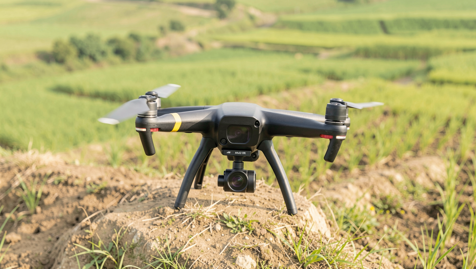
In agriculture, drones are revolutionizing farming practices by enabling precision agriculture. They help monitor crop health, optimize irrigation, and apply fertilizers more efficiently. This technology allows farmers to gather data quickly, leading to improved yields and reduced resource waste.
What role do drones play in disaster response in Japan?
Drones play a crucial role in disaster response by providing real-time aerial imagery
About the Author